Software to identify football fields and their surface material using ESA satellite imagery
Client challenge
Investigate whether it is technically and commercially feasible to use machine learning to obtain information about the location and composition of football fields.
Technologies
U-net, OpenCV, Postgres, CouchDB
Project duration
2,100 man-hours, 1+ years
Solution at a glance
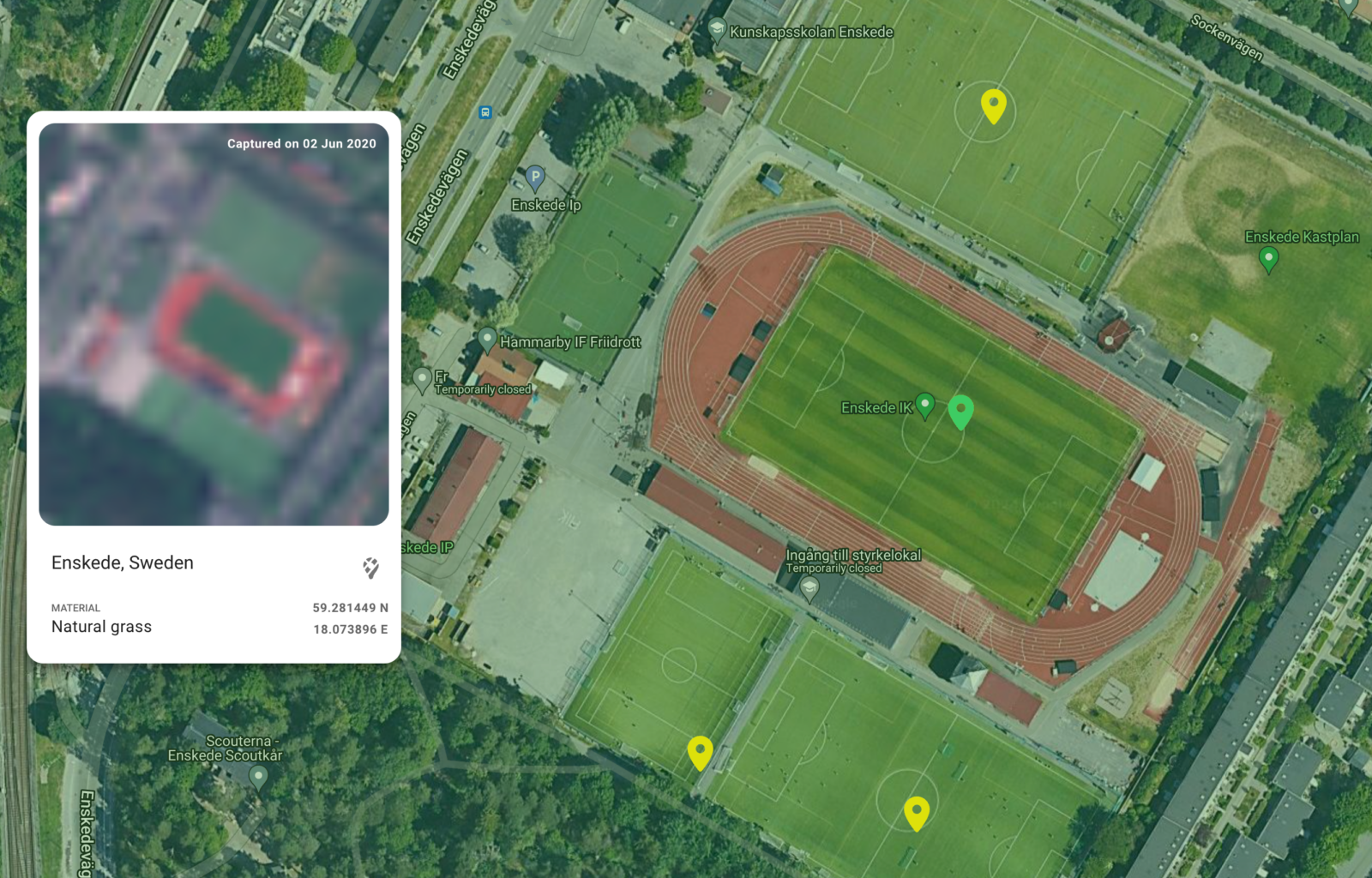
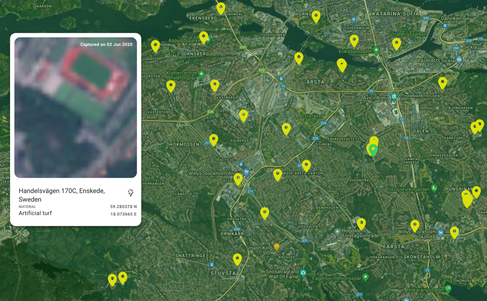
We built an application to select areas of interest, obtain a list of football fields, and view the results using a map application. A distinction is made between fields covered with natural grass and artificial turf.
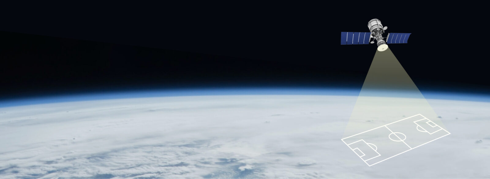
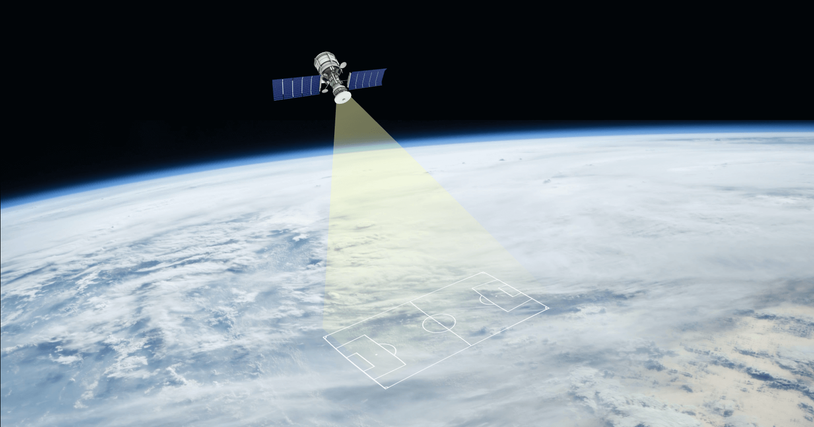
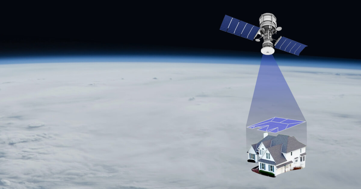
The service uses satellite images, which are analyzed with the help of machine learning algorithms with the purpose of obtaining a list of identified fields covered with artificial or natural turf. A user interface enables access to the map application where the user selects a geographical spot of interest. By clicking on a map location, the customer activates the application to obtain images of that area. As a result of the analysis, the user will receive a list of links to football field locations on the map. The customer may click on the link and continue their investigation about that specific field.
The application is designed to locate football fields and identify field material. Additional features may be added on request.
Our technology enables use of a wide variety of satellite images for football field detection and characterization.
Project
The growing global population has increased the demand for open-air sports and leisure facilities like football- and rugby fields and public playgrounds. However, the costs to build and maintain these facilities are also increasing. As a cost-saving measure, more facilities with artificial turf are being built.
Surfaces of artificial turf can have environmental impacts, and therefore they cannot be built everywhere. For example, black-rubber crumb fields, produced from discarded tires, may not be placed too close to bodies of water. Also, in warmer geographies, water is required to cool the rubber to protect the players, which must be weighed against the water required for natural grass. Satellite imagery can assist in making these decisions, as well as provide information about the condition of fields.
To plan better investments and optimize maintenance costs, up-to-date information is needed about football fields and their condition. Currently, such information is not easily available or obtainable at a reasonable cost.
Proekspert built an application that enables the selection of an area of interest for review, obtain a list of football fields in the area, and then view the results using a map application. The distinction is made between fields covered with natural grass and artificial turf.
Results
- A user interface enables access to a map application where the user selects a geographical area of interest. By clicking on a map location, the customer activates the application to obtain images from that area. The solution applies trained machine learning algorithms to find relevant fields. As a result of the analysis, the user receives a list of links to football field locations on the map.
- The application identifies turf material.
- The application may be used globally.
Frontend development images:
Read more
See project’s page on the website of the European Space Agency (ESA). Also find more information from Proekspert below.
Related case studies
Our case studies give an insight into how human-oriented design principles will help product companies persuade customers to go on a journey with smart, connected products.


Share your challenge with us
Thank You!
Your message has been sent. Our team will get back to you as soon as possible!
Proekspert AS
Tallinn headquarters
Sõpruse pst 157
13417 Tallinn
Estonia (EU)
Reg code 10331577
VAT no EE100185388

Phone +372 651 8700
E-mail info@proekspert.com
Press inquiries press@proekspert.com
Fax +372 651 8701